


Roll over image to zoom in
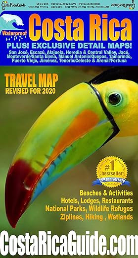
Waterproof Travel Map Of Costa Rica
£15.99
Waterproof and rugged road and travel map of Costa Rica including zoomed detail maps of Arenal, Monteverde, Manuel Antonio and over a dozen other popular destinations. Hundreds of improvements and updates for the new twelfth anniversary edition from CostaRicaGuide.com and Toucan Maps . 2 sided, 39 in. x 26.25 in. (4.875 in. x 9 in. folded) Roads are clearly differentiated by color and line width for classes from limited access divided highways down to 4WD seasonal tracks – improved and even easier to see the main route to your destination at a glance. Locations and easy to read indexes are included for cities and towns, National Parks and other natural areas, beaches, rivers, peaks, volcanoes, waterfalls and the best hotels, lodges, resorts, restaurants and activities. Exclusives o The only street level map in print for the entire Central Valley from the International Airport to San Jose. o Detailed maps of Arenal Volcano/Fortuna, Alajuela, Escazu, Heredia, Manuel Antonio/Quepos, Monteverde/Santa Elena, Playa Jaco, Playa Tamarindo/Langosta, Puerto Jimenez & Tenorio/Celeste. o Proprietary symbols for distinctively Costa Rican attractions like zip-line and hanging bridge canopy tours, butterfly gardens, waterfall rappelling, rain forest horseback rides, SCUBA, deep sea fishing, golf, white water rafting, trails and many more. See at a glance what to do where. o Driving distance table and mini map for calculating trip distances and estimating drive times. o Printed on high tech synthetic paper it s lightweight, durable & totally waterproof – works great as an emergency umbrella! o A few dozen useful English to Spanish phrase and word translations are provided in an inset. You will appreciate having ‘What is the best way to get there?’ and ‘Can you please show me on the map?’ at your fingertips if you need to ask directions.
Read more
Additional information
| Language | English |
|---|---|
| ISBN-10 | 097637336X |
| ISBN-13 | 978-0976373360 |


by Paul S
Excellent, useful and up to date back up to Sat Nav.
by Amazon Customer
Item returned as I received a different edition to the 2020 one pictured. Seller sent the 2018 version and according to the manufacturer there have been 600 revisions since so I didn’t want to chance it. I have now ordered a copy from the USA Amazon store so fingers crossed it will be the correct one.
by M. P. Wiggins
It’s a map. It’s waterproof. It has everything we needed for our holiday on it. Highly recommend if you’re planning a trip.
by Denise
Excellent map for travel in Costa Rica. We hired a GPS for a 14 day trip, but found this map invaluable when the GPS repeatedly tried to take us in the wrong direction via impassable routes. The map shows all primary & secondary roads-we avoided all other roads using this map, which made for a more enjoyable trip. The detailed area maps om the map were also well used. I would thoroughly recommend this map for anyone travelling around Costa Rica. Although the UK price seems high, it is well worth the money due to the time saved by travelling on major roads.
by RubberDuck
Its refreshing to find a good map of Costa Rica we used it for the whole holiday and it is robust and well details. We have since lent it to several friends
by Amazon Customer
I have recently returned from a self-drive trip around Costa Rica and this map was easily the best available. Very helpful town maps on the reverse side. As others mentioned, it was a necessary for satnav backup. Only minor point, although robust and well-printed, I would not describe this as waterproof. You wouldn’t want to open it in a CR downpour!
by DANNYBANDIT
Brilliant and very detailed. We are using it right now and so far it hasn’t let us down.
by ReadingDave
We used this to sense-check the sat nav and help us orintate ourselves. It is a good quality product, both in terms of the information it provides and the robustness of the paper (and coating) used.