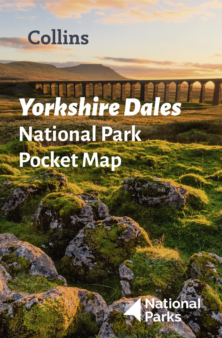
Yorkshire Dales National Park Pocket Map: The perfect guide to explore this area of outstanding natural beauty
£1.90£3.80 (-50%)
Handy little full-colour map and guide of Yorkshire Dales National Park.
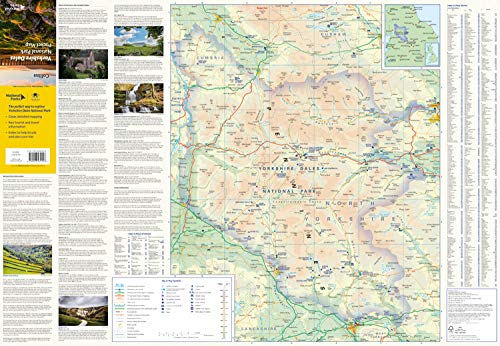
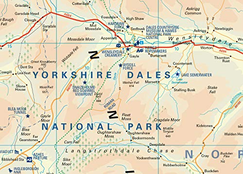
Detailed mapping and visitor information to the National Park along with a selection of photographs. Map at a scale of 1:140 000 (1cm to 1.40km, 2.2 miles to 1 inch).
This small map with additional text and photographs gives a great overview of the Yorkshire Dales National Park, and is the perfect companion for exploring this beautiful area of Northern England.
- Clear, detailed mapping
- Key park, tourist and travel information
- Ideal for planning visits to the National Park
- Index to help locate and plan your trip
This and the Yorkshire Dales Park Rangers Favourite Walks (ISBN: 9780008462659) are the perfect companions for exploring this superb walking area of England.
Read more
Additional information
| Publisher | Collins (4 Mar. 2021) |
|---|---|
| Language | English |
| Map | 1 pages |
| ISBN-10 | 0008439249 |
| ISBN-13 | 978-0008439248 |
| Dimensions | 9 x 1.3 x 14 cm |



by dogsnapper
Perfect neatly folding overall view of Dales that as a handy and quick reference is a great way to complement the more sophisticated but much larger and space requiring OS maps, specially on a windy day! Also highlights many of the main attractions with useful info. Bargain
by McVittk
This is a very useful pocket map.Very good detail.Bought at a bargain price.
by NEHow
I would totally recommend for any photographer or walker.
by P.W.GREENWOOD
In hindsight I would have gone to a tourist information centre and picked up some free leaflets instead. This product is useful, but the price is a complete rip off
by SteveP
It’s what it says on the tin a map of the Yorkshire Dales. Well presented and plenty of info. I have used it 3 or 4 times and I’m uncertain of how long it will last. However it’s worth the money.
by robert white
i like this map it reminds me of my trip to hawes